Why is Stratford now safe from the age-old threat of flooding? What has been changed in the landscape to make this happen? Listen to the audio file below to find out.


This page is part of Start the audio trail
Why is Stratford now safe from the age-old threat of flooding? What has been changed in the landscape to make this happen? Listen to the audio file below to find out.
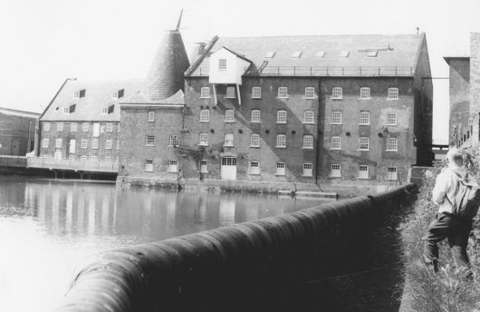
You may be wondering, as you look at the impressive climbing wall, how it was possible for Stratford’s rivers to have a reputation for flooding. The answer is that the steep river banks you see today were not always here. The level of the land was raised by redistributing the soil excavated by construction. The 200-odd industrial buildings that were demolished on site also played their part in this process…you’ll meet some of them in just a moment.
The land slopes gently down to the river’s edge, but then there is a drop to the water level. The City Mill River, like the Waterworks River, has steep concrete walls at this point, to contain high levels of water if required. These high sides are part of the flood defenses of the area.
The other reason why flooding is less likely here is thanks to Carpenters Road Lock, which provides a level of control over where the water goes along the Bow Back rivers. Let’s continue moving along City Mill river to the green iron bridge, where we will see the lock as it has been restored.
To find the next waypoint, continue along the side of City Mill River and go halfway across the blue-green iron footbridge.
This page is part of Start the audio trail